Climbing to the hut from Ridnauntal
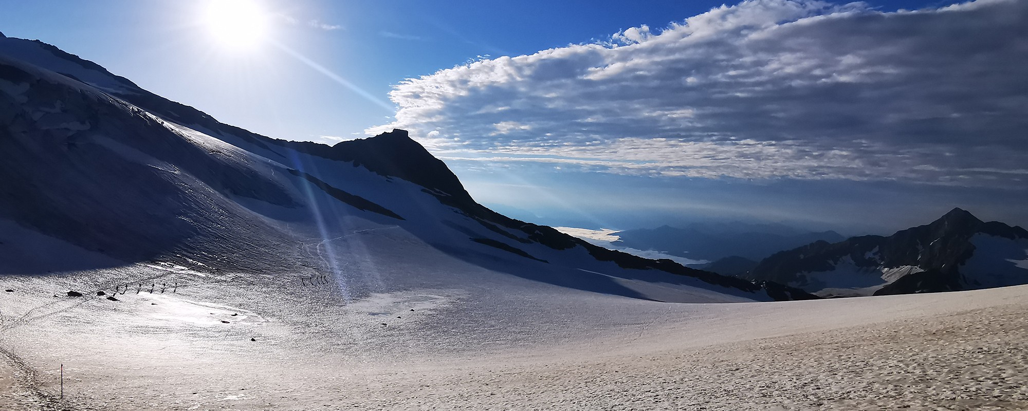
The former Schneeberg mine in Maiern/Ridnaun (head of the Ridnauntal valley) marks the starting point. From there you hike along trail 9 via Aglsboden up to the GrohmannhĂĽtte (2254m). You then continue to the TeplitzerhĂĽtte (2586m) and from there, via boulders and well-secured walkways with wire ropes and stepping brackets, you cross a moraine until you find yourself below Becher rock. The last leg leads you on winding paths until you reach the Becherhaus (3195m).Â
Altitude difference: 1800m elevation gain
Walking time: approx. 6,5h
Alternative ascent via the Red Ridge from the Ridnauntal
The trail leads from  the end of the valley in Maier to the Grohmanhütte  and continues to the Teplitzer. A little further on towards the Becherhaus and then, at  the Nürnbergerhütte junction, follow trail no. 6A to the Rotgratscharte. The trail is  well  marked  and continues left to the Rotengart peak, where a new cross was erected in 2021. Accompanied by the  wonderful view of the Becherhaus  on the left, you reach the Signalgipfel at 3390m.
If you wish, you can take a short detour to the Wilder Freiger, otherwise descend along the secured east ridge to the Becherhaus, where you can spend the night or take the normal route over the Becherfels, after some rest and refreshment.